
Interactive, shared site drawings
Your drawings, always up to date and shared
30-day trial, no credit card
Try the drawing
The “First floor” drawing of the demo project, as it appears in Touch2build: zoom, pan, click a task.
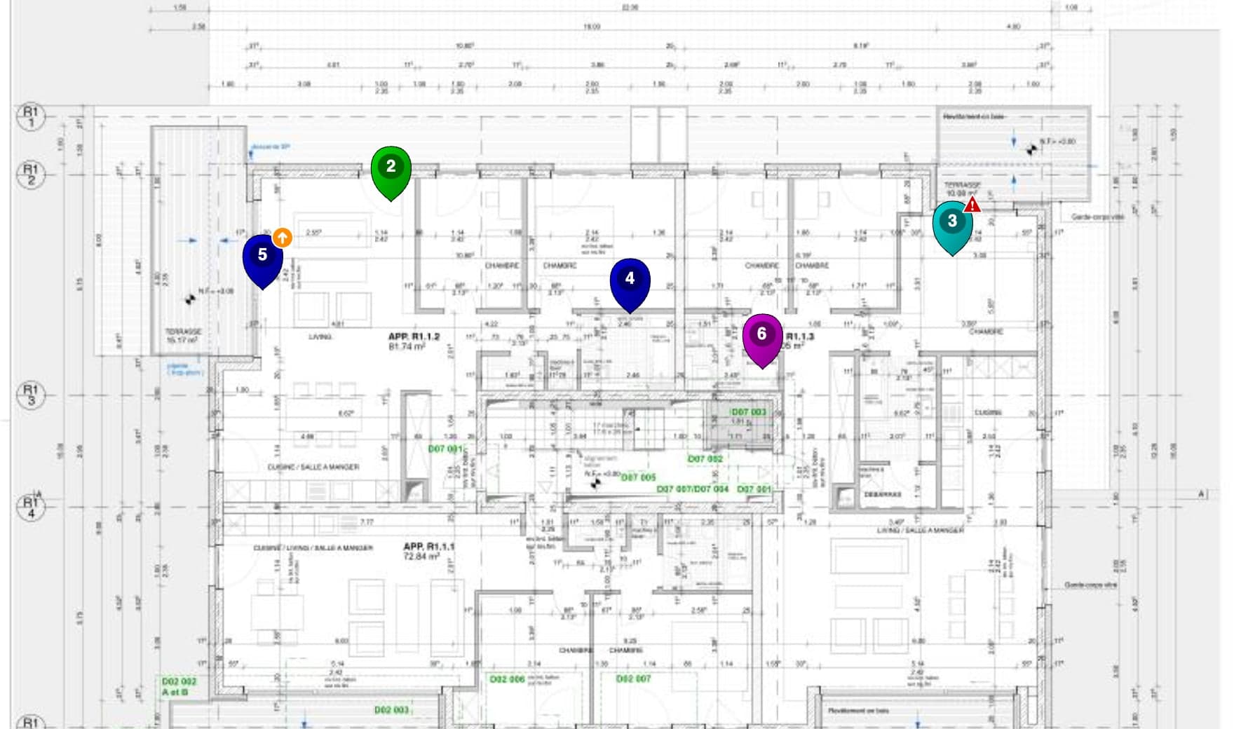
On a phone, use two fingers to move the drawing; on a computer, Ctrl or ⌘ + wheel to zoom.
5 open tasks on this drawing
Demo project: the data is fictitious.
Real-time interaction
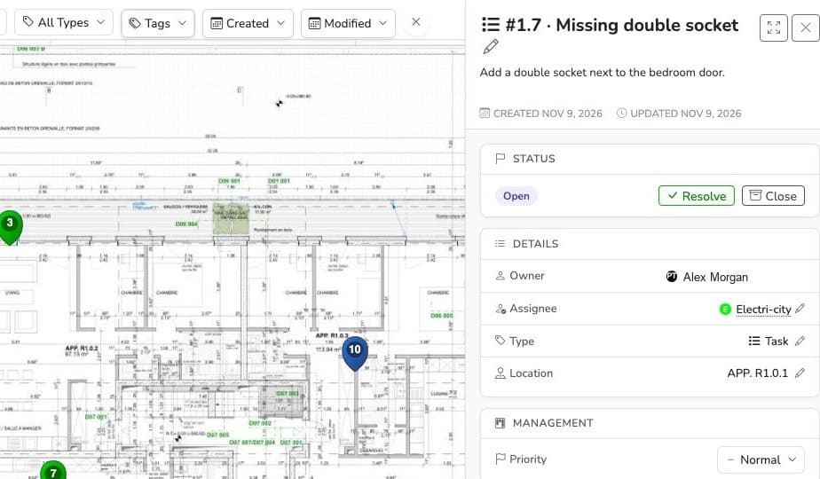
Add, move or edit your tasks directly on the drawing.
One click on a precise point adds a task, assigns someone and shares the information with the whole team at once.
The result is clear, visual, shared management.

Smooth and precise
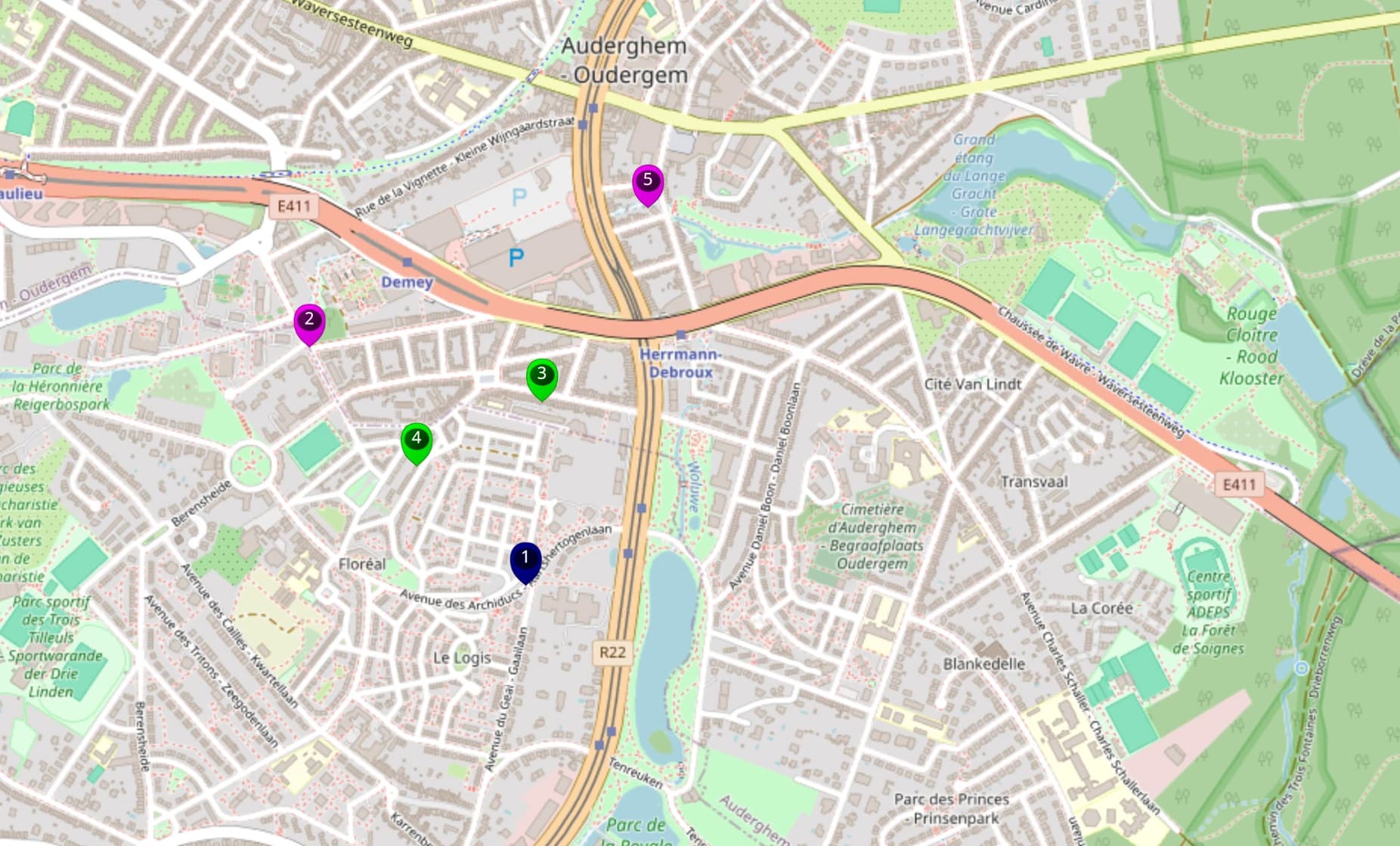
With a fast, easy-to-use interface, moving around your drawings and maps feels natural.
You reach the essential information in an instant without changing screens or losing track of the project.
Managing a site becomes as simple as an interactive drawing.
Why it makes a real difference
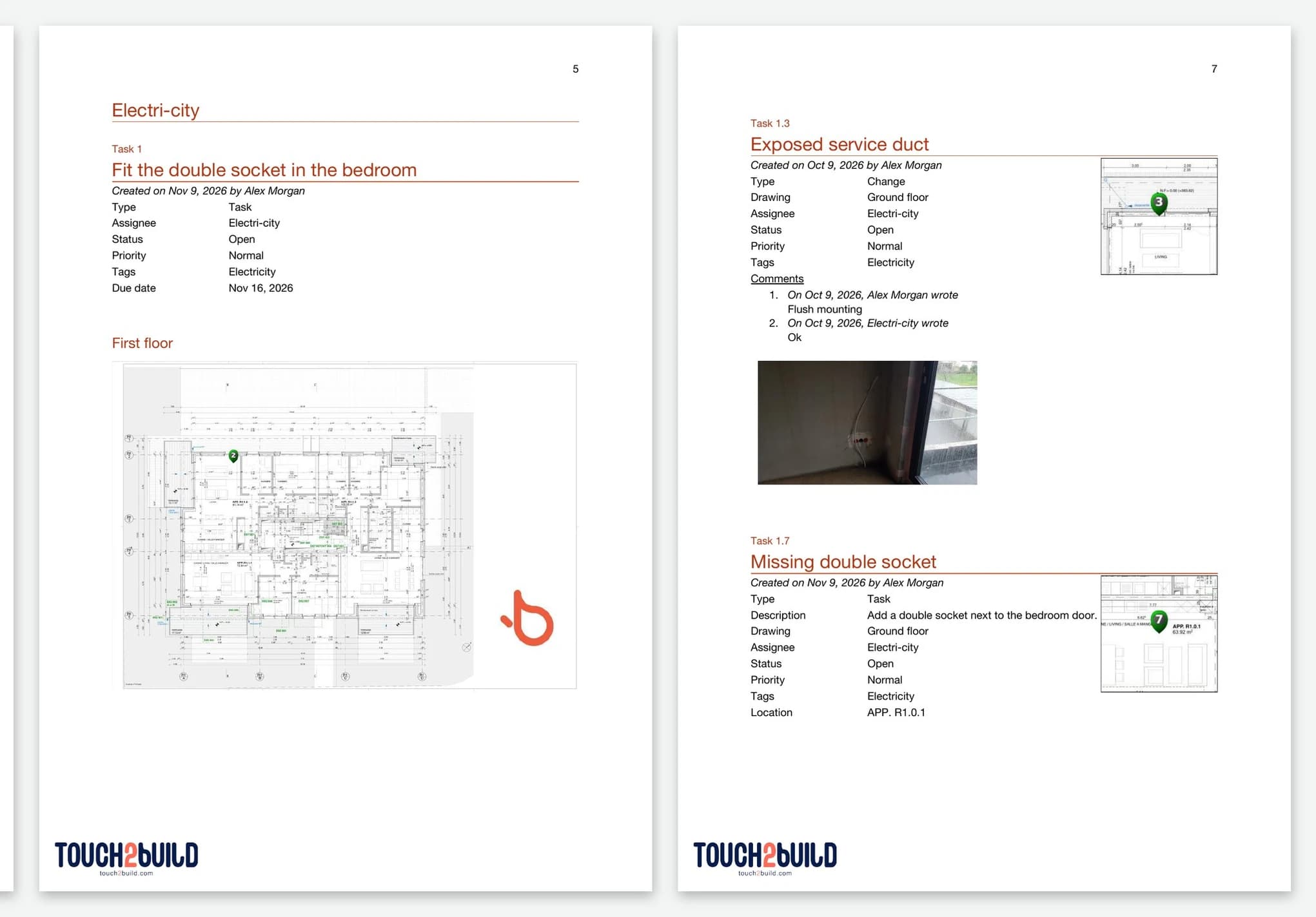
By keeping drawings and annotations in one visual space, Touch2build turns a plain document into a shared way of working.
Common problem
What Touch2build changes
QR codes on site
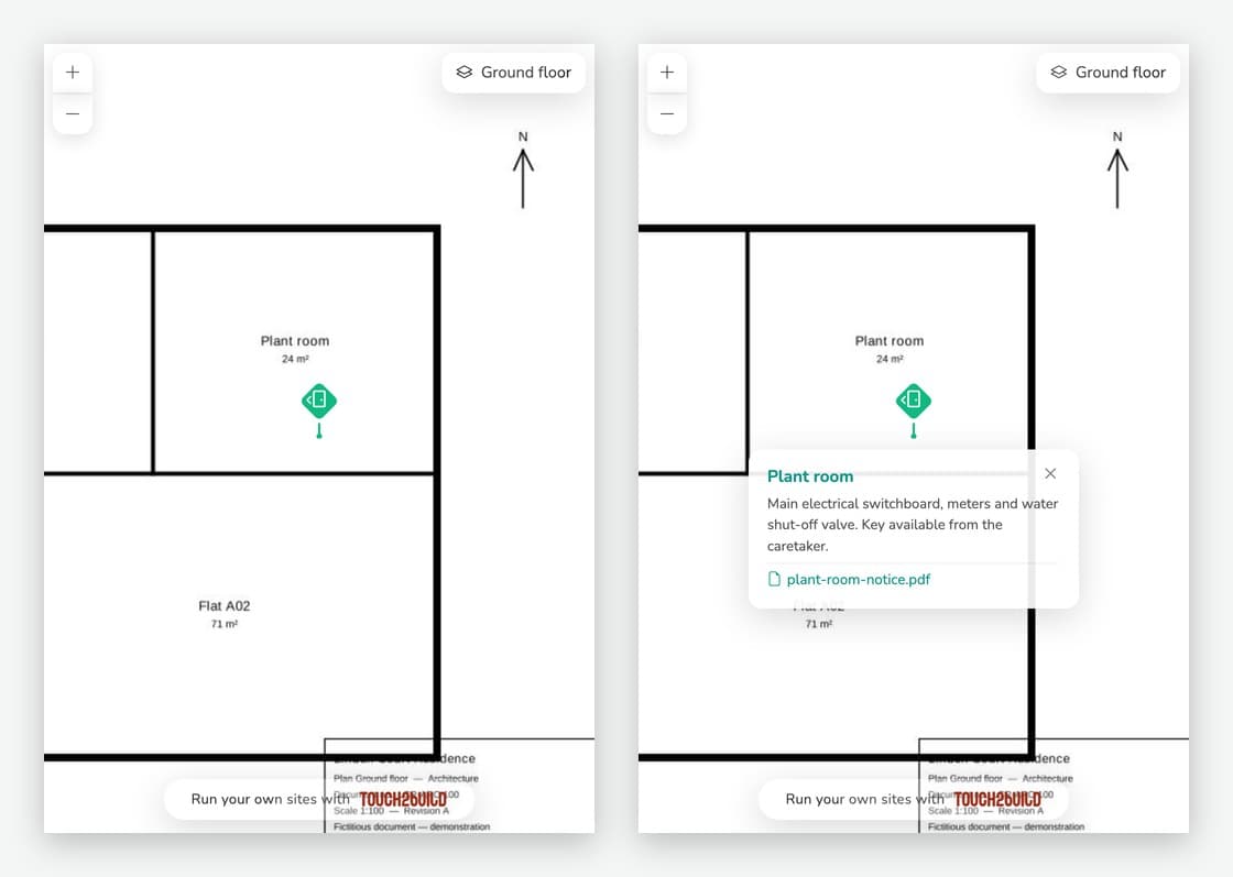
Place points of interest on your drawings: technical room, access, contact, safety instruction. Linked to a QR code displayed on site, they can be opened from any phone, without a Touch2build account: the subcontractor arriving, the caretaker, a delivery driver.
QR codes are generated in batches and printed in your company colours, with useful documents attached: manual, data sheet, evacuation plan.
Interactive drawings that live with the site
The paper drawing marked up in pencil and the PDF sent by email share a flaw: they are out of date the next day. In Touch2build, your architectural drawings and topographic maps are always at the latest version, and each task or snag is pinned directly in the right place on the drawing.
How do I locate a task on the drawing?
One click on the point concerned is enough to attach a task, a photo or a remark. Conversely, from a task you can see its exact position straight away. That helps architects checking compliance, and teams handling scattered jobs for public works managers.
Several drawings per project?
Yes: floors, packages, zones, successive versions. Each document stays organised in the project and available to everyone authorised, on the web and on mobile.
Can drawings be viewed in the field without a network?
Yes, they are stored on the device and can be viewed offline, annotations included, thanks to offline sync.
Try Touch2build for free
Test the application for 30 days, with no credit card and no commitment. See for yourself how Touch2build can change the way you run your sites.
Start my free trial- 30-day free trial
- Responsive support
- No credit card
- Cancel at any time